Documenting Britain
My Documenting Britain project is The Brief Charms of the B7088. The B7088 is a short road across the Tweed, scarcely mentioned in maps or on official documents, little more than a bridge and a pair of roundabouts. It is the tally line across an ancient, arterial, long inhabited landscape.
Territories
The Scottish Borders could be described as a series of micronations. Even if you ignore the amalgamations since 1975 these are overlapping territories that make the division of Germanic states in the early 19th Century look succinct.
This is the story of two steadings, until recently mostly divided by water. Like the Kirks of Morebattle and Linton (between which is the Nation’s shortest Established ecclesiastical distance), at once so close but yet so far. The steadings of Cardrona Mains and Horsburgh were separated by water so to a great extent needed to be mirrors of each other.
Morebattle and Linton were drawn together by 18th Century Improvements that drained the loch that separated them. To stem the flow of the Tweed would be a greater task so the steadings remained apart till the advent of a new village and bridge across the river.
To begin – one picture from each side of the divide. In the southern corner we find the Megalith. In favourable conditions it has always been possible to cross the Tweed at this point, though never in a certain manner.
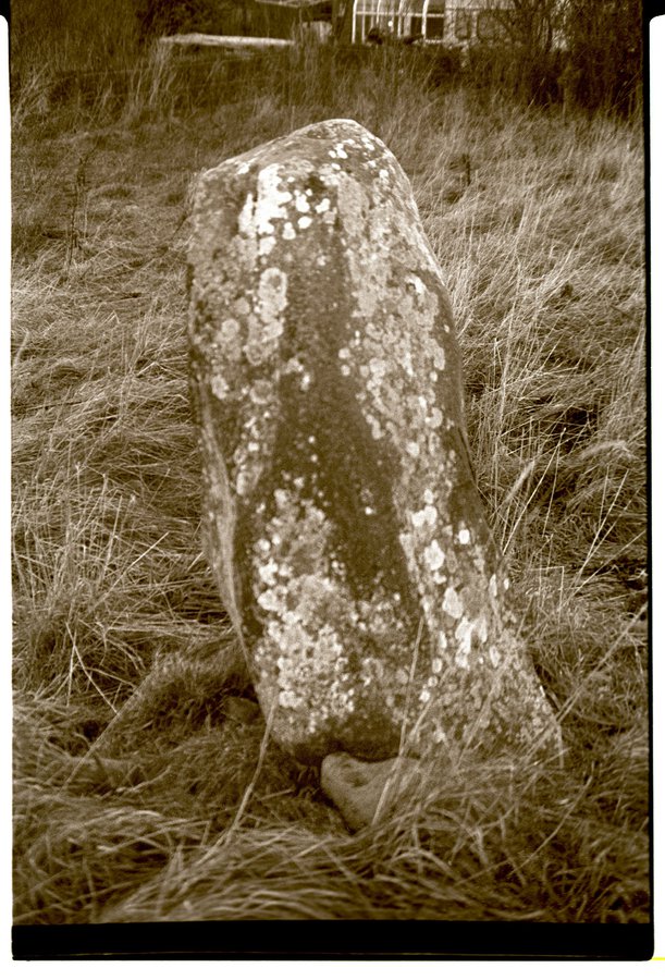
Megalith at Cardrona Mains
To the North we find a quite different phase of human development.
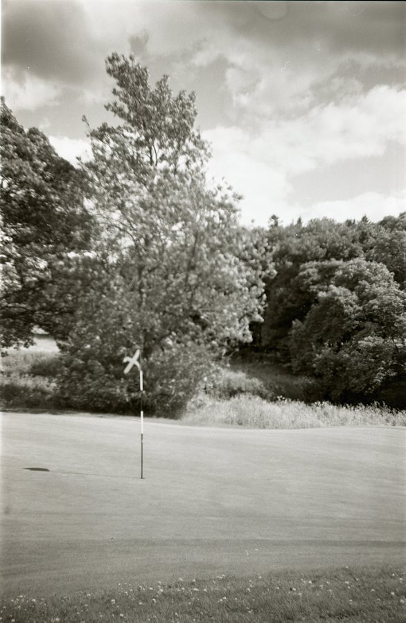
Cardrona Green